Early in July City Councillors for wards in the Headington/Barton/Marston area were invited to a briefing on work that was already underway on developing a Transport Strategy for Headington. The invitation came from an officer at Oxfordshire County Council. This was the first time the City Councillors knew about the Strategy, and it later emerged that local County Councillors were also unaware of it.
Councillors were told that the work was being carried out by consultants White Young Green and in reply to questioning it was discovered that the contract had been let without competitive tendering under County Council procedures which allow contracts under £25,000 to be awarded directly.
The Consultants’ brief was “first to consider the existing situation in Headington and then second, taking into account the likely future development in the area, to propose a strategy to tackle existing and future transport problems”.
The Councillors’ invitation to briefings came with a copy of the “Draft Commissioning Paper” dated April 2013. Target dates in this document included
- Agree baseline and issues/collect data from stakeholders – May/June 2013
- Analyse data and identify/appraise options – June/July 2013
Nevertheless, the briefing dates were 1 and 6 August. Councillors, it appeared were to have little input to the work being done.
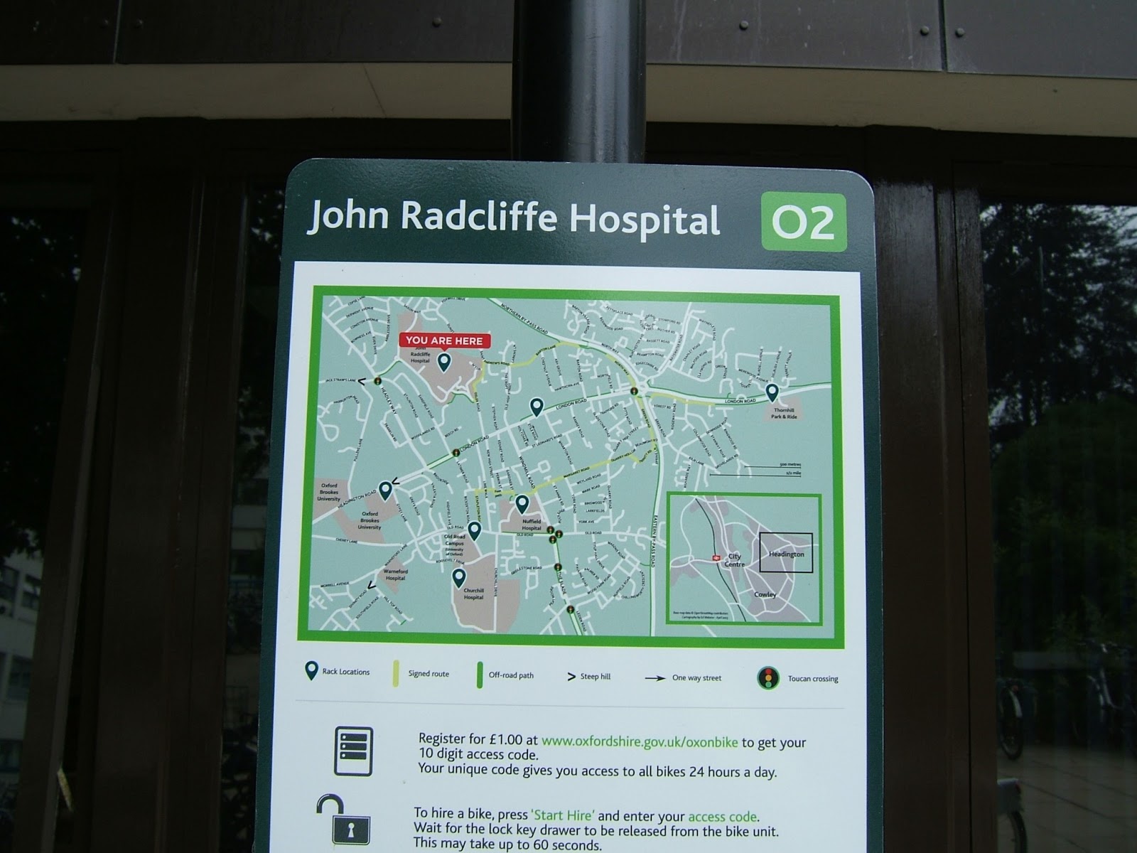
The transport problems in Headington are well known. The main artery into the City from the east and London passes through the shopping centre. Several large employers (Oxford Hospitals, Oxford Brookes University, Oxford University’s Old Road Campus) are present. Local and long-distance buses, private and commercial vehicles, cyclists and pedestrians all compete for space. Parking (legal and illegal), rat-running and speeding cause problems on residential streets. Traffic pollution means air quality fails to meet legal standards. Major new developments at Barton West and around the Churchill Hospital/Old Road Campus will put extra pressure on an already overcrowded system.
For all these reasons the various residents’ and amenity groups in Headington all have a keen interest in transport issues. Most significantly Headington has started out on the road to a Neighbourhood Plan involving the whole community in which transport matters will feature strongly. A pre-existing umbrella group, the Headington Transport Group, with members representing the interests of pedestrians, cyclists, bus users, motorists, car sharers – in fact just about all points of view – is acting as the de facto Transport sub-group of the Neighbourhood Forum/Plan.
All this is well known to County and City Councillors and officers, which makes it all the more surprising that there was no provision for any community involvement in the development of the Transport Strategy. The Commissioning Paper states
“The commission will be led by the County Council. Key partners for the commission will be Oxford City Council, the Oxford University Hospital Trust, Oxford University and Oxford Brookes University. The commission will be overseen by a steering group that includes representatives from the key partners.”
Instead, the document says the Strategy will be put out for consultation when it has been prepared and as part of a wider review of City transport issues. So local groups are expecting to be presented with what will effectively be a fait accompli.
What confidence can the Headington community have in the outcome of this study? For a start, it seems it is unlikely to be very comprehensive as it is not budgeted to cost more than £25,000. This does not buy a lot of the time of a professional consultancy firm. At a rough estimate it might be about two or three weeks’ work for a team of three consultants.
By the end of July plenty of people knew about the study and local Councillors had done their best to find out more, with limited success. The community’s concerns were beginning to crystallise: apart from the lack of involvement, the terms of the commission seemed to place local employers in a prime position of influence and everyone else nowhere. The underlying assumption seemed (rightly or wrongly) to be that ways needed to be found of coping with ever greater pressure on roads, but there was no direction to the Consultants that they should look at ways of encouraging a greater proportion of journeys to be made by bus, cycle or on foot. They had not been asked to consider air quality. They were not required to integrate their proposals with other transport initiatives affecting the area, such as the proposed new bus routes, the bicycle hire scheme at Thornhill P&R and the development of designated cycle routes (the NE Quiet Route into the City and the soon-to-be-designated route from Headington roundabout to the Nuffield, Churchill and Old Road Campus). There was no mention of including the significant problems caused by school traffic. Paying lip service to the needs of the community, the Commissioning Paper says
“… there is a need to ensure that an appropriate balance is struck between meeting the access requirements of business activity, the hospitals and universities in the Headington area with the role of London Road as an arterial corridor and the needs of the Headington community.”
but how those needs are to be established, and who might have a voice in determining them, is ignored.
Early in August Councillors attended the briefing sessions and the slides they were shown have found their way into circulation. The briefing sets out some basic facts and figures of traffic in Headington, but the sources of the data are not given so how current they are cannot be determined. The briefing concentrates on traffic flow figures, road and junction capacity. Public transport (i.e. buses) accounts for one slide out of 17, walking and cycling another, parking a third. There are no data on journeys to school – routes used, numbers of cars, bicycles, journeys on foot. The last two slides just contain the words “Strategy Options?” and “Next Steps” respectively.
I learned later that some of the data are based on the 2001 Census. They will be updated when the 2011 data are available but what stage the Strategy will be in then is an open question.
More recently (6 August) two senior County officers involved in the study attended a meeting of the Headington Transport Group. They said that the strategy was “still at an early stage” and the commissioning document was “misleading”. The study was still at the information-gathering, data collection stage. Ways of involving the local community were “still being worked out”. I take this to mean that the original timetable has slipped significantly. What effect this has on the Consultants’ £25,000 fee remains to be seen.
In the discussion that followed the County officers seemed to admit that their approach to most if not all traffic issues was to look for conventional solutions. This implies that anything more radical or innovative will have to come from the politicians.
In conversations which I think probably took place outside that meeting I’m told County officers accept that the Commissioning Paper which sparked off this row – and which always had “Draft” in its title – is not set in stone and the brief to the Consultants is flexible to some degree. From my experience of working with consultants I predict a hike in the fees!
To summarise the situation as it appears to the Headington community:
- The County has commissioned a rather superficial “Transport Strategy” with the intention of having something which can form an input to a wider Oxford transport review.
- It did this without informing its own local Councillors or the Councillors of one of its ‘key partners’ (Oxford City) until the study was well under way.
- Apart from the City Council only major local employers are ‘key partners’ and have an input to the study.
- Despite knowing how important transport issues are to the Headington community they chose not to involve any community representation in either drawing up the brief or taking part in the process. The community is not a ‘key partner’.
- The work being done is based on out-of-date data and does not include several elements of transport/travel in Headington which concern residents and businesses.
- There is nothing that gives the community any reassurance that the outcome will be anything other than ‘more of the same’, rather than the study being an opportunity to look for innovative solutions which would allow Headington and Oxford in general to benefit from economic growth while at the same time improving the quality of life in the area.
- If the County transport planners now accept the draft commissioning paper needs to be revised in the light of local reaction and intend to brief the Consultants to include the community in the review process, a new commissioning paper needs to be drawn up and circulated so the process can be seen to be open and inclusive.